The death toll from the Nepal-Tibet flood disaster surged on Thursday as rescue teams searched shattered Himalayan valleys for more than 1,400 missing people, turning an already severe border emergency into one of the region’s deadliest recent natural disasters.
Police figures cited by the Associated Press put the toll at more than 360 dead, with more than 1,400 missing across Nepal and Tibet. The Guardian, citing Nepalese police, tourism officials and Chinese state media, reported at least 356 deaths, including 353 in Nepal and three in Tibet, and nearly 1,400 people still unaccounted for.
The numbers remain provisional because agencies are reconciling village lists, tour group records, embassy reports and rescue-team updates from areas where roads, bridges and communications were damaged. But the scale is now far beyond the first confirmed figures reported on Wednesday, when Global Daily Update covered the initial Nepal-China flash floods with at least 98 deaths and hundreds missing.
What Changed On Thursday
The most important update is the size of the confirmed loss. The disaster is no longer only a local flood emergency around Rasuwa, Nuwakot and the Gyirong crossing; it is an international missing-person crisis involving pilgrims, trekkers, transport workers, hydropower staff and residents from multiple countries.
AP reported that the missing included foreigners from more than 30 countries. Separate AP reporting said India had hundreds of nationals uncontactable, while the U.S. State Department said 90 Americans were unaccounted for in China and Nepal and that it was not aware of any U.S. deaths. Chinese state media reported 558 people missing in Gyirong County, including 260 foreigners.
Many of the missing were travelling toward Mount Kailash and Lake Manasarovar, high-altitude pilgrimage destinations in Tibet revered by Hindus, Buddhists, Jains and Bon practitioners. The disaster struck a corridor where religious tourism, border trade, hydropower work and mountain settlements are tightly concentrated along narrow river valleys.
That concentration explains why the Nepal Tibet flood death toll moved so quickly. A sudden wall of water and mud can strike multiple types of exposure at once: homes near riverbanks, market areas, road convoys, bridge approaches, power sites and tour groups using the same limited mountain routes.
USGS Says The Trigger Was Not An Earthquake
Another major development is the scientific assessment of the trigger. Early accounts pointed to an earthquake because seismic monitors recorded a strong signal near the Nepal-China border. By Thursday, however, the U.S. Geological Survey assessment cited in international reports said the signal was generated by a glacial collapse and debris flow, not a tectonic earthquake.
That distinction matters. If the flood was triggered by an ice-and-rock collapse that temporarily blocked or displaced water upstream, the immediate risk is not only aftershocks. It is unstable slopes, debris dams, new or expanding lakes, and additional surges if blocked water breaks through.
Guardian reporting cited Nepal’s national disaster authority as saying initial satellite analysis indicated a landslide of ice and rock in the Lhende River area, north-east of the Rasuwagadhi border crossing. AP separately reported that aerial footage showed a lake forming and expanding near the China-Nepal border, adding to concern about secondary flooding.
Officials and scientists will still need field evidence, satellite comparisons, river-gauge data and slope assessments before the full sequence is settled. The safest reading for readers is that the event is now being treated as a high-mountain glacial-collapse disaster with continuing flood and landslide risk, rather than a single finished flood.
Rescue Work Is Being Slowed By Broken Access
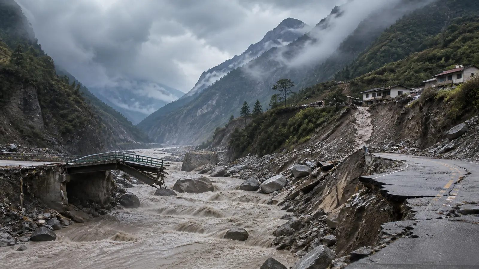
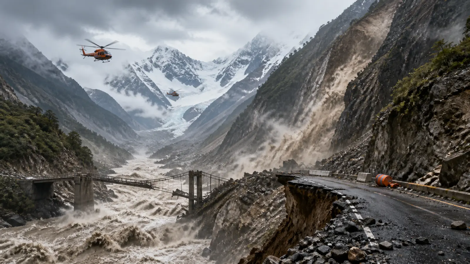
The rescue challenge is severe because the flood destroyed the same infrastructure needed to reach survivors. Reports from the affected area describe dozens of damaged bridges and about 40 kilometers of roads destroyed or blocked, with homes, vehicles and power infrastructure buried by mud and debris.
The Nepali army rescued more than 100 people by helicopter by Thursday morning, according to Guardian reporting. Helicopters are essential where road access has failed, but weather, visibility, landing zones and unstable terrain can all limit how quickly aircraft can operate in the Himalayas.
In Tibet, Chinese authorities deployed emergency workers, vehicles, dogs and boats to Gyirong County, while state media said senior Chinese officials had moved to oversee operations. Nepalese police, soldiers, local officials and volunteers were also working to recover bodies, identify survivors and compile missing-person lists.
The uncertainty over missing totals is not just a data problem. Tour companies may know who booked a route, embassies may know who has been reported missing by relatives, local officials may track residents, and rescuers may have separate field lists. Those records can overlap or lag behind each other when phone networks and roads are cut.
Why This Is A Global Story
The flood has global relevance because it joins climate risk, tourism safety, border infrastructure and disaster response in one high-stakes Himalayan corridor. The area links Nepal and China’s Tibet region, supports hydropower projects, serves international trekkers and pilgrims, and feeds river systems that matter far downstream.
It also highlights a wider mountain hazard. The Hindu Kush Himalaya region contains many glaciers and steep valleys where warming, monsoon rainfall, permafrost thaw and unstable slopes can interact. Recent GDU coverage of NOAA’s July heat assessment and Japan’s Chiba record-rain floods showed how extreme-water risks can expose infrastructure weaknesses in very different environments.
No single disaster should be attributed to climate change without detailed analysis. But glacier retreat and slope instability are well-established concerns in high mountains, and this event will intensify scrutiny of warning systems, remote sensing, evacuation routes and construction close to river channels.
What To Watch Next
The first priority is whether rescue teams can reduce the missing list as cut-off communities, tour groups and work sites are reached. The second is whether upstream blockage or newly formed lake water creates a fresh flood threat.
The third is international coordination. Governments with citizens missing in Nepal or Tibet will need to work through local authorities, tour operators, hospitals and rescue bases to confirm names before releasing casualty details.
The fourth is recovery. Roads, bridges, hydropower facilities, customs infrastructure and communications links will determine how quickly relief reaches isolated communities after the search phase. If those networks remain damaged, the humanitarian impact will last beyond the initial death toll.
For now, the Nepal-Tibet floods stand as a fast-moving disaster with confirmed facts still changing. What is clear is that a glacial collapse sent a catastrophic surge through a crowded mountain corridor, leaving hundreds dead, more than a thousand missing and a region facing both immediate rescue needs and longer-term questions about Himalayan hazard preparedness.